Klara Washington · 18 October 2026
Pioneering Compact Trail Systems for Wildlife Monitoring Data Collection in Protected Forest Zones
Compact trail systems have emerged as a practical approach for gathering wildlife data in protected forest zones where traditional access routes would cause excessive disturbance, and researchers have documented how these narrower pathways allow placement of cameras, acoustic recorders, and environmental sensors with minimal habitat fragmentation. Data collection efforts in regions such as the Pacific Northwest and parts of Southeast Asia rely on these trails to reach remote monitoring points while preserving canopy cover and soil stability, and studies conducted through 2025 show measurable reductions in vegetation loss compared with wider paths used in earlier decades.
Design Principles Behind Compact Trails
Engineers and ecologists collaborate on trail layouts that stay under two meters wide in most cases, which permits foot or light equipment access yet limits the cleared corridor enough to discourage invasive species spread, and this approach incorporates natural contours of the terrain so that drainage patterns remain intact and erosion stays low even during heavy seasonal rains. In October 2026, several field teams plan to release updated mapping data from pilot sites that will detail how trail gradients and switchback spacing affect both human safety and sensor uptime over multi-year periods.
Materials selection plays a direct role in longevity, with local stone and recycled timber favored over imported gravel in many projects because they blend with surrounding substrates and reduce visual contrast that might alter animal movement patterns, while geotextile underlays stabilize the surface without requiring deep excavation that could damage root networks.
Data Collection Technologies Along the Trails
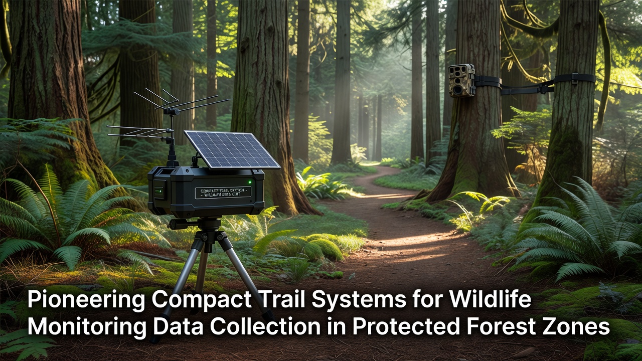
Camera traps positioned at regular intervals along compact trails capture images of elusive species such as clouded leopards and forest elephants, and acoustic sensors record vocalizations that help estimate population densities without requiring constant human presence, which in turn lowers the risk of habituation or avoidance behaviors in target animals. GPS-enabled collars on selected individuals provide movement overlays that researchers cross-reference with trail-based observations, and the combined datasets reveal corridor usage that informs zoning decisions for buffer areas around core habitats.
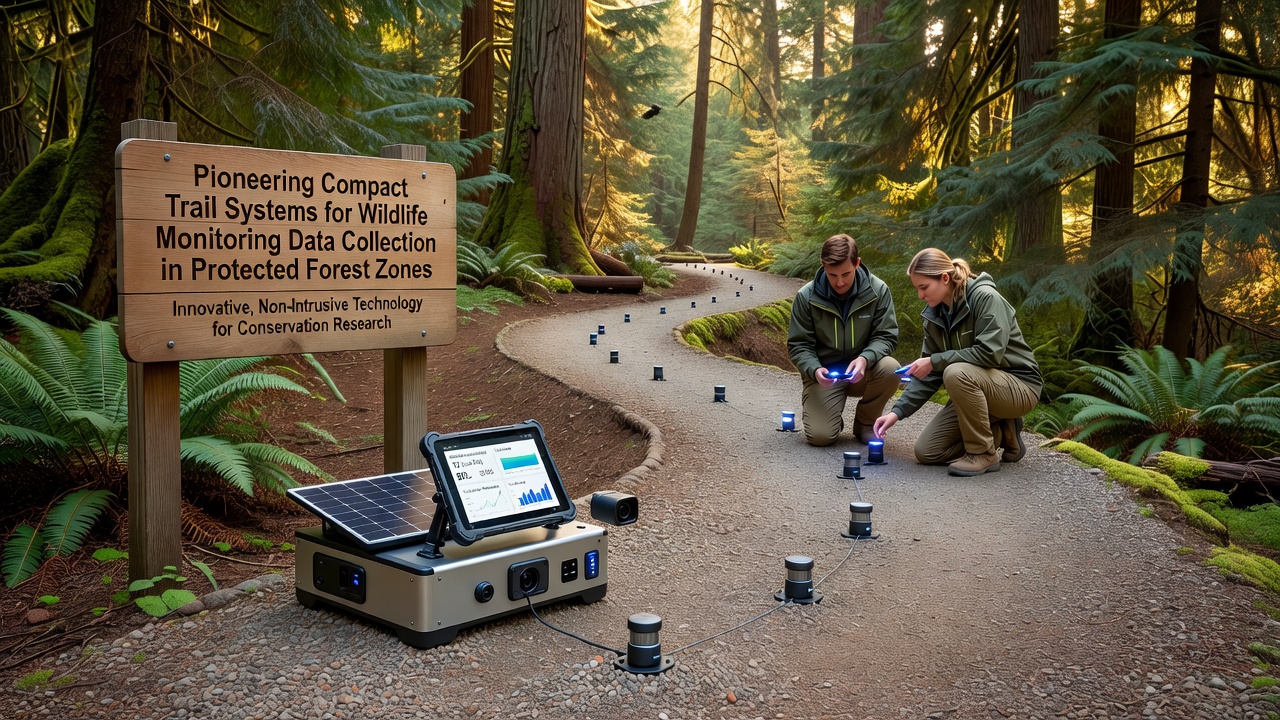
Power management for these devices often depends on small solar panels mounted at canopy gaps along the trail edges, and recent deployments in Canadian boreal forests demonstrate how compact trail access allows technicians to swap batteries or download memory cards on a monthly cycle without constructing new clearings, according to reports from Parks Canada.
Regional Implementation Examples
In the Appalachian region of the United States, land managers have integrated compact trails into existing fire-break networks so that monitoring stations double as early-warning points for both wildlife shifts and wildfire behavior, and similar hybrid use appears in Australian eucalyptus reserves where drought monitoring equipment shares trail infrastructure with biodiversity sensors, as noted in publications from the Australian Department of Climate Change, Energy, teh Environment and Water. European projects in the Carpathian Mountains focus on brown bear and lynx corridors, where trails follow ridgelines to minimize stream crossings and thereby protect aquatic habitats downstream.
Training programs for local field crews emphasize low-impact travel techniques, including single-file movement and designated rest points, which help maintain trail integrity over time and ensure consistent data quality across seasonal changes.
Conclusion
Compact trail systems continue to support expanded wildlife monitoring networks by balancing access needs with habitat protection requirements, and ongoing refinements in sensor placement and trail maintenance protocols are expected to yield higher-resolution datasets that guide conservation planning in protected forest zones through the coming decade.